South Fork Eagle River – Peak 1212 (North Bowl area)
Signs of instability:
- Recent, small (up to D1.5), natural wind slab avalanches in North Bowl
Weather:
- Cloudy, obscured skies with low vis and light snowfall
- Light SE wind with some moderate gusts in the most wind-exposed areas
- Alpine temps in the mid 20s
Surface conditions:
- Moist, wind-packed powder in areas that haven’t been stripped down to the ground or old melt-freeze crust by strong winds this week (good, smooth skiing in these areas)
- Hard melt-freeze crust, “anti-tracks” (old, raised tracks), and ground in wind exposed areas
Discussion:
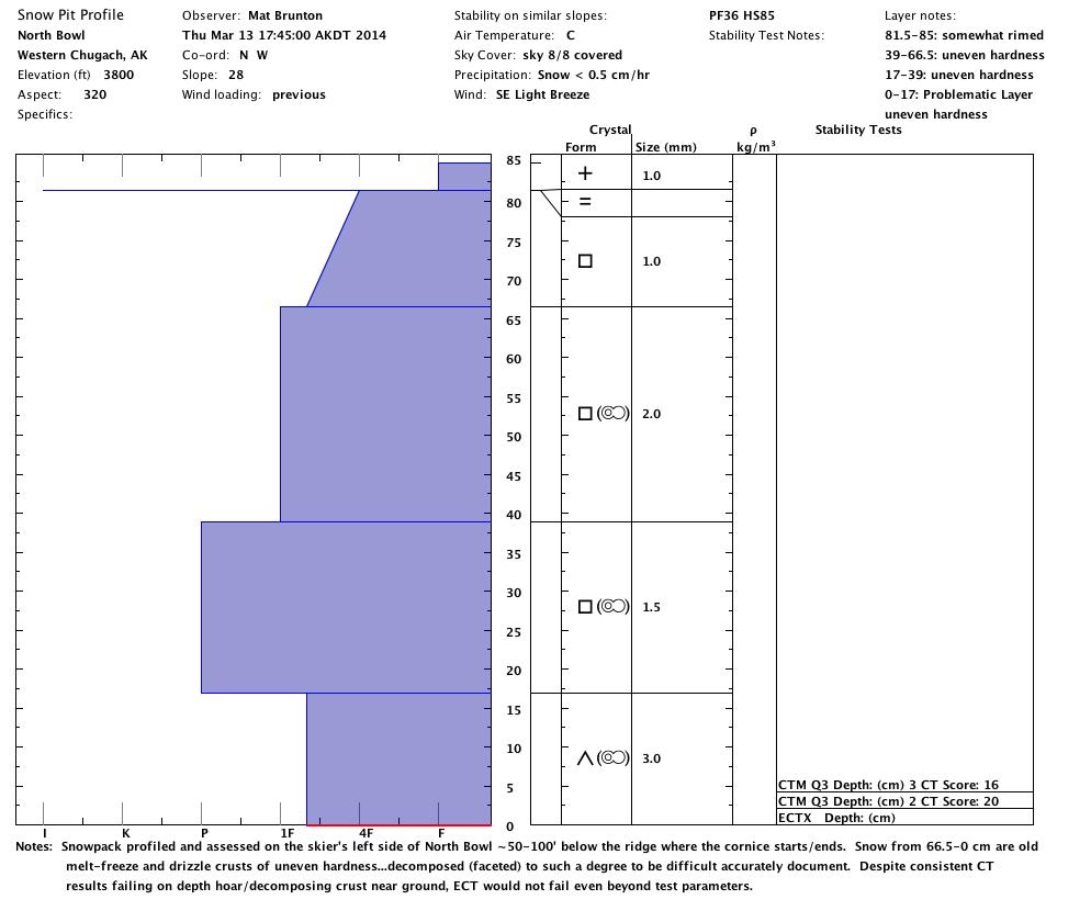
Strong winds and poor visibility above treeline (which is virtually all Front Range and Eagle River area terrain the AAC is concerned with) hampered field work this week, but a window to assess conditions Thursday afternoon presented itself. It is hard to tell how much snow the South Fork area has received this week due to almost constant strong winds redistributing whatever has fallen, but it’s likely that a couple wet to moist inches fell by Thursday afternoon. A snowpack profile near the top of North Bowl also revealed a thin, breakable rain crust which suggests a bit of rain fell up high for at least a brief period earlier this week.
Wind-protected deposition areas offer decent skiing, but more widespread are the wind-exposed and battered areas that sport raised anti-tracks, old melt-freeze crusts, and varying other forms of funky and undesirable snow. However, if the current weather forecast (as of Friday morning) holds true and we get just a few inches of fresh snow by Saturday ski conditions should improve dramatically.
Avalanche concerns are expected to be relegated to pockets of wind slab a few inches deep above 3000′ until we receive more snow; be on the lookout for cracking, collapsing and areas of denser wind-affected snow with thin layers of hollower snow underneath and on top of the old melt-freeze crust. Slopes steeper than ~30 degrees with fresher snow at the surface (likely moist, wind-packed powder) are suspect for wind slabs; upper elevation convexities (rollovers) are expected to be the most problematic.
While winds have been varied and blowing strong throughout the week there’s been limited snow available for transport, new snow has been moist-wet and is bonding well, and warm temps have otherwise facilitated bonding. Nonetheless, information from across the advisory area is limited this week and extra caution will be warranted through the weekend.
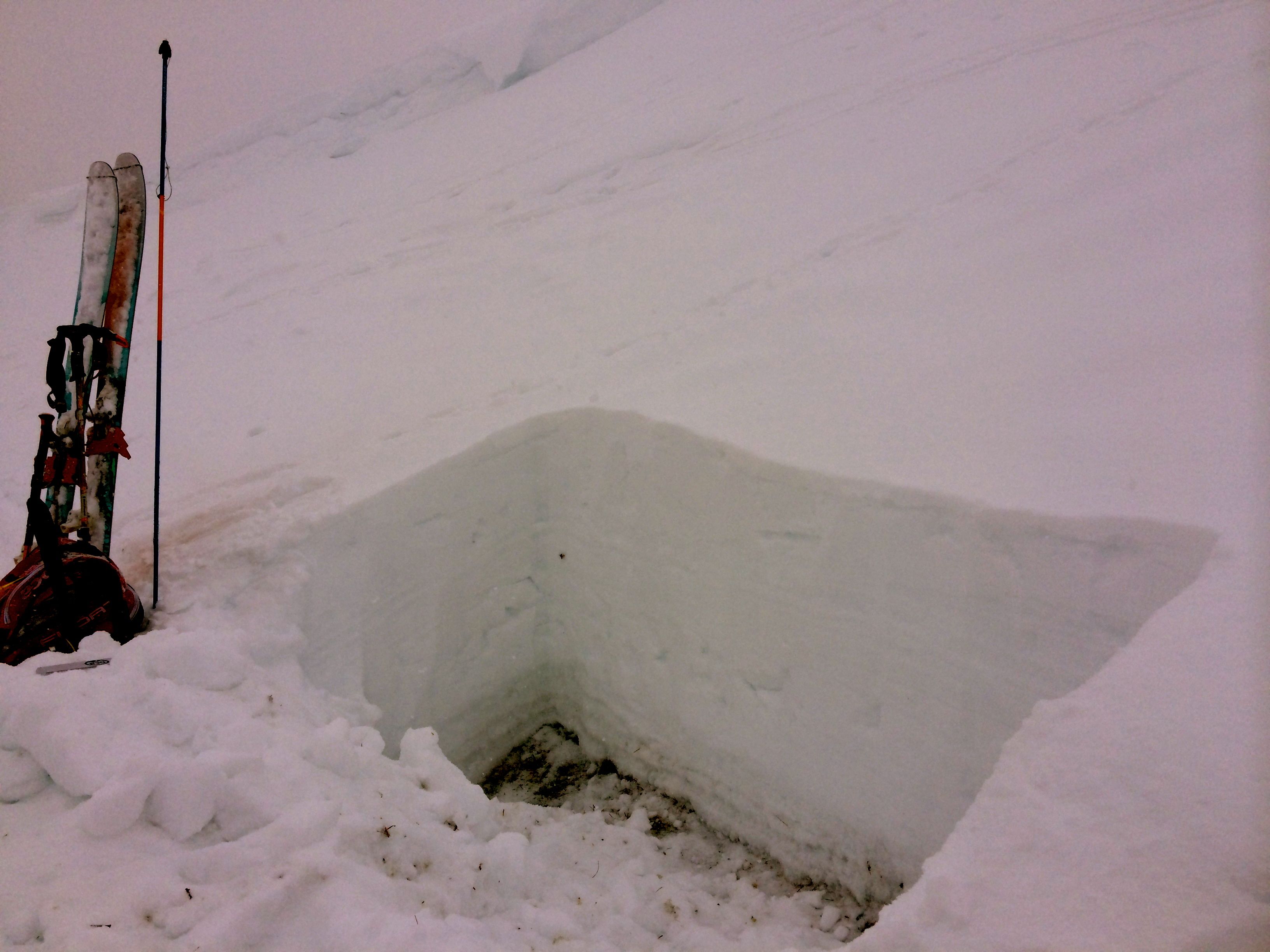
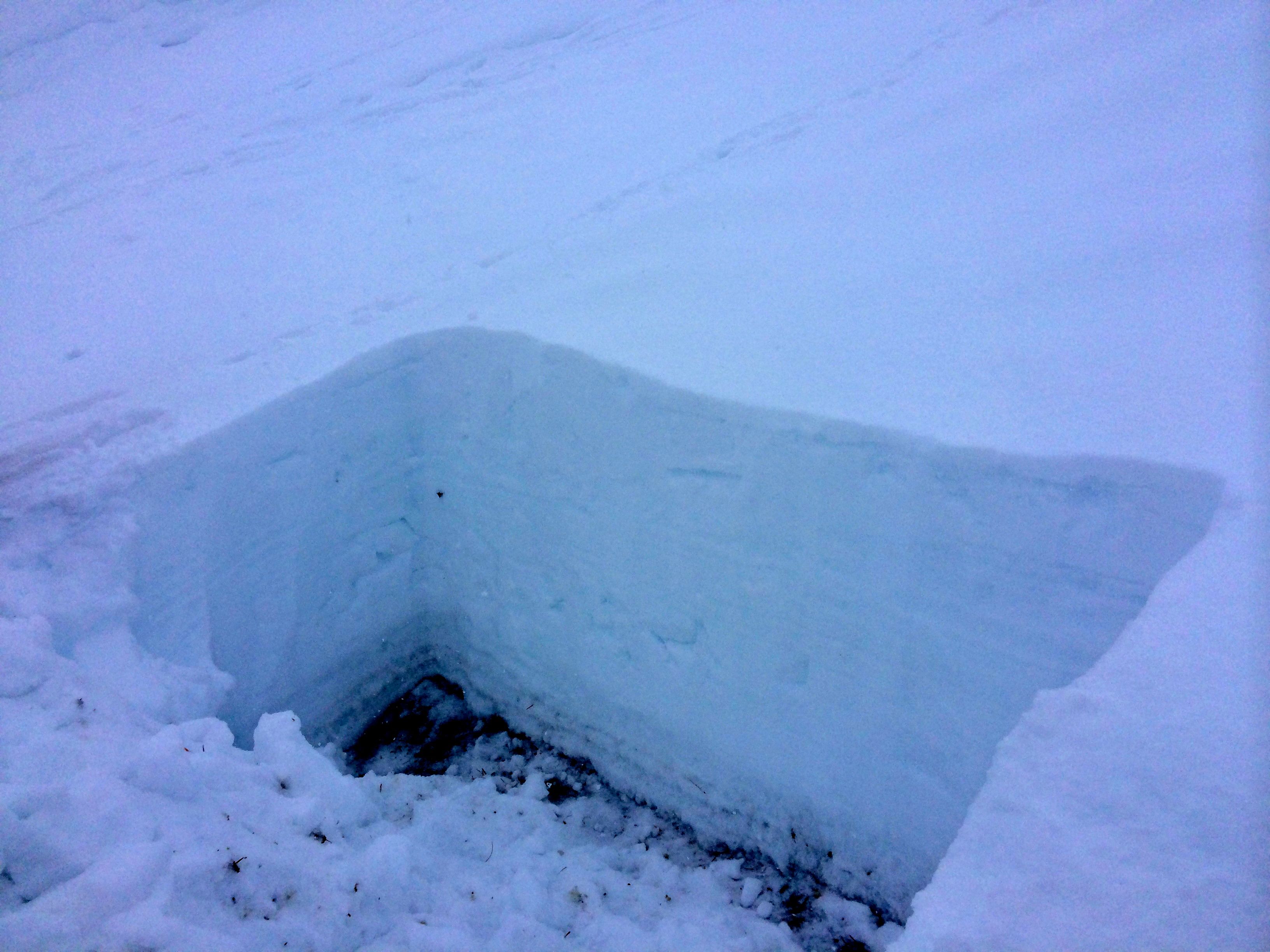
On Thursday the snowpack was profiled and assessed on the skier’s left of North Bowl ~50-100′ below the ridge where the cornice on that side starts/ends. Having been heavily tracked by skier’s and riders between weather events and considering the nature of this season’s snowpack with numerous buried crusts that have undergone extensive faceting and have decomposed to a significant degree, old and thick melt-freeze layers are of varying hardness and are somewhat difficult to document accurately.
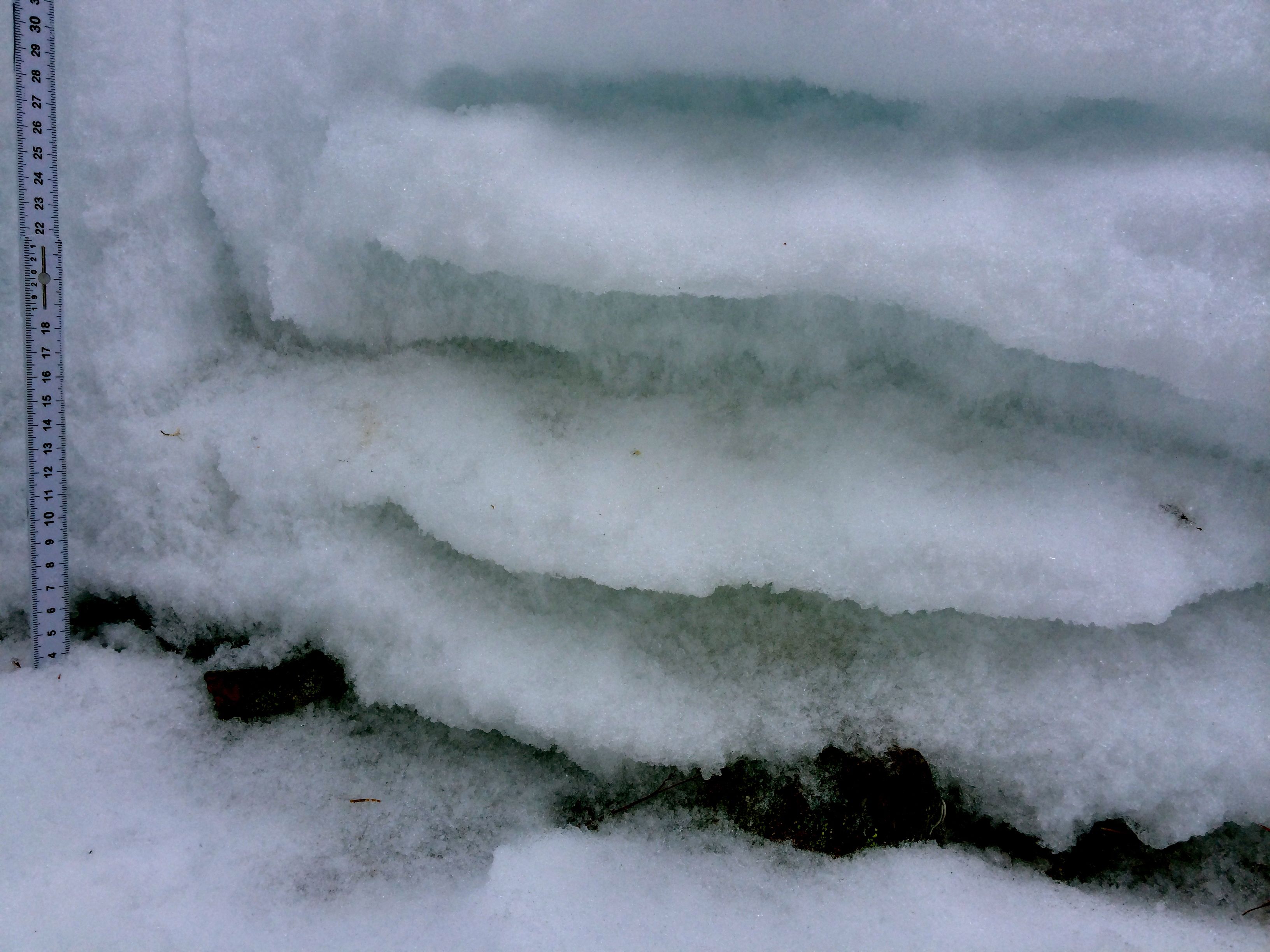
The snowpit with profile, stability tests, and photo showing extensively decomposed early season melt-freeze and drizzle crusts near the base of the snowpack: